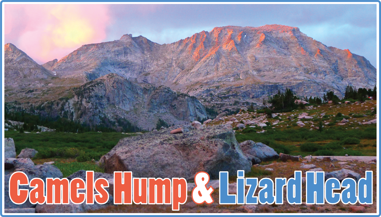
Peaks Climbed: Camels Hump & Lizard Head Peak
Peak Heights: 12,537' / 12,842'
Route: SW Slopes & Traverse/S Face
Difficulty: Class 4+
Location: Wind River Range, Wyoming
Trailhead: Big Sandy
Mileage & Gain: 7 mi & 3,600 ft RT from camp
Date Climbed: August 18, 2020
Lizard Head Peak is one of the highest summits in the southern Winds, yet attracts very little attention. Too easy for rock climbers yet too difficult for the casual hiker, I don't think it gets climbed much despite its location in the immensely popular Cirque of the Towers area. Camels Hump is merely a large, curiously shaped sub-summit of the Lizard Head massif.
Lizard Head had been near the top of my most wanted list for a while. I hadn't been able to muster the courage to attempt it on my own when I was camped out under its foreboading south face at Secluded Lake a couple of summers ago. Finally, with a bit of convincing, Marc agreed to accompany me on the traverse from Camels Hump to Lizard Head one day during our week+ long climbing trip to the Cirque.
From a bit below Texas Pass we scrambled up the beautiful slabs that comprise the southwest slopes of Camels Hump (easiest path is 3rd class but we ran into some more difficult terrain). After summitting Camels Hump we bypassed the initial narrow ridge to the Camels Hump/Lizard Head saddle on the south side, and then regained and stayed near the ridge crest the rest of the way, making frequent but minor detours on the south side to bypass some gendarmes. There were usually options of various difficulties to choose from, but a short 5th class crack system near the end didn't have an obvious bypass.
I was a bit nervous about making a blind descent of Lizard Head's south face. It looks so menacing from afar and Kelsey describes it as "such a jumble of broken couloirs that details would be incomprehensible and senseless". This route ended up being a whole lot easier and less complicated than it looks. We descended the largest gully system on the south face, the most obvious one on the topo map that ends 0.2 miles west of the summit. Keep climbers right at the top (we started to descend the left side and it got too steep). There were one or two non-exposed 4th or low 5th class moves, but the going was generally quite easy.